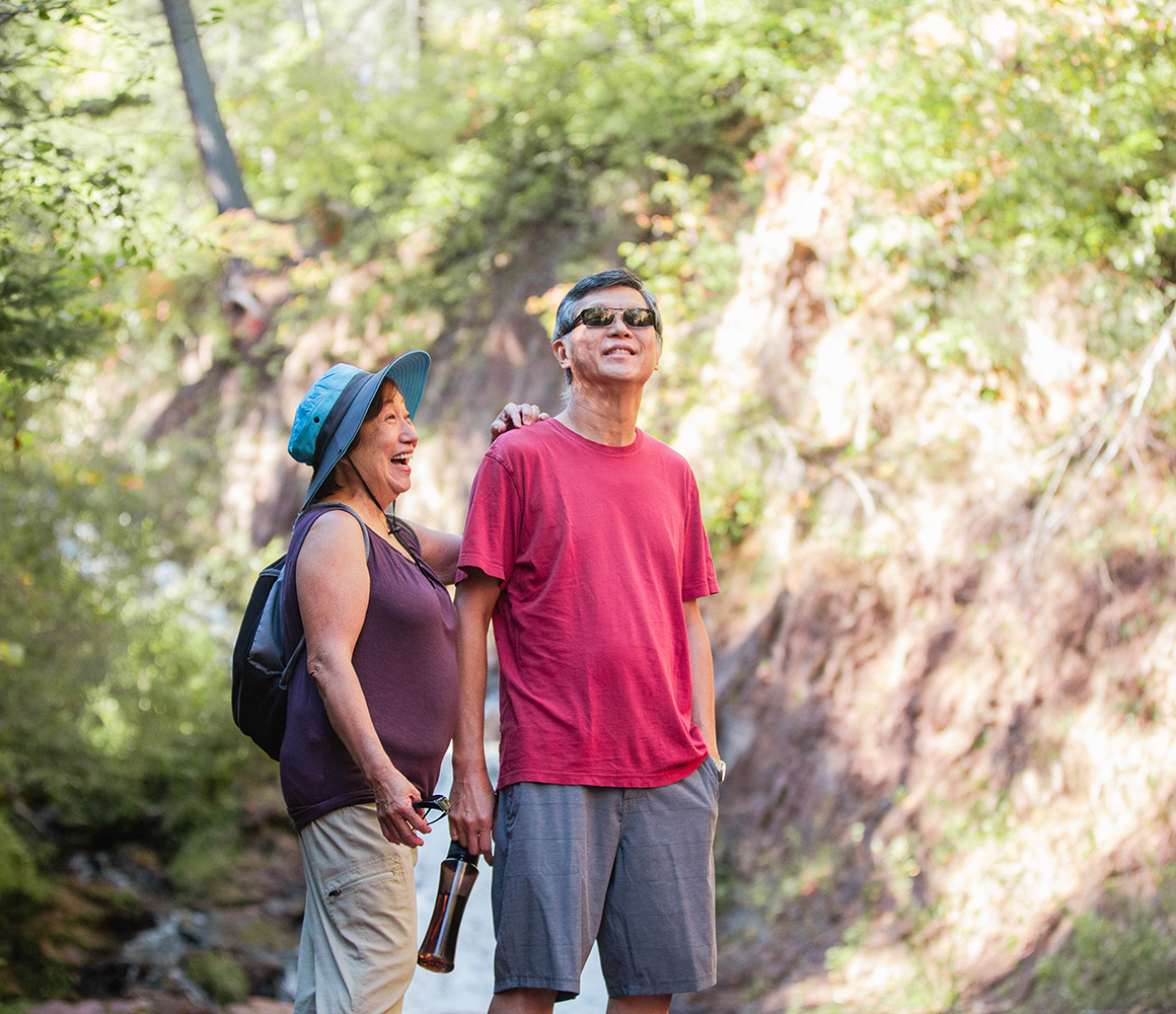
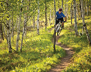
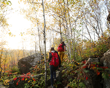
Hiking Trails
getting your steps in
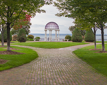
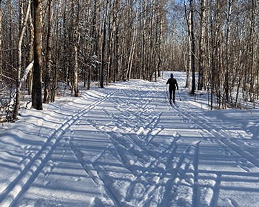
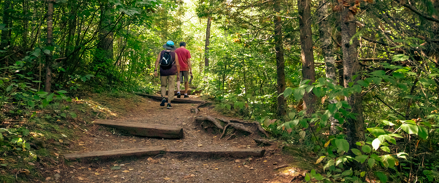
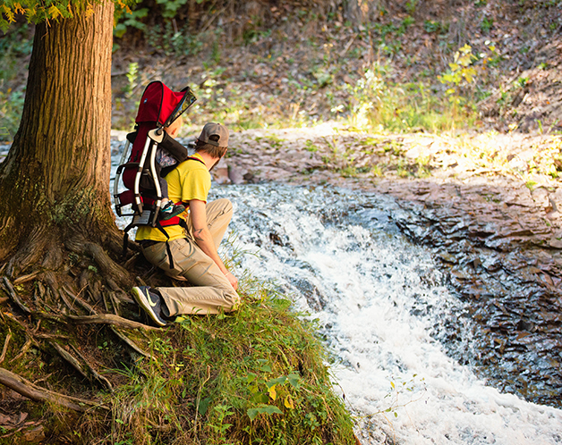
From paved, accessible trails with urban amenities close at hand, to rustic trails through ancient woodlands, there’s a lot to experience when you hit the trails in Duluth.


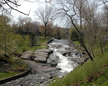
chester park trail
Access: 1800 E Skyline Parkway
Length: 4.2 mi (includes 2 mi below E Skyline Parkway)
Level of Difficulty: Easy to Challenging
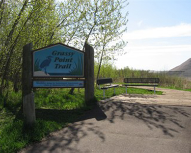
Grassy Point Trail
(Accessible Trail)
Access: End of Lesure St
Length: 0.2 mi (one way)
Level of Difficulty: Easy

Hartley Park Trails
(Partially Accessible Trail)
Access: 3001 Woodland Ave
Length: Varies
Level of Difficulty: Easy to Challenging

Hawk Ridge Trails
Access: 4000 Skyline Parkway
Length: 5 mi
Level of Difficulty: Easy to Challenging
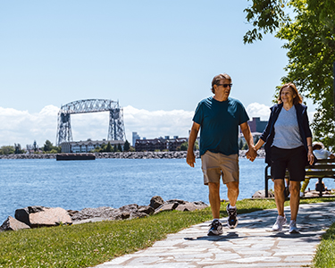
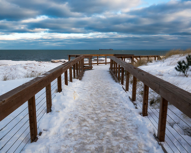
The Lakewalk
(Partially Accessible Trail)
Access: Canal Park, Rose Garden, 21st Ave E & Water St, 26th Ave E & London Rd, 61st Ave E or Brighton Beach
Length: 7.5 mi (one way)
Level of Difficulty: Easy
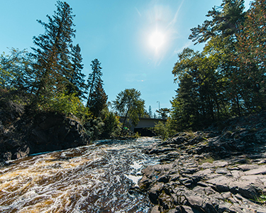
Lester Park Trail
Access: 60th Ave E & E Superior St or E Superior St & Lester River Rd
Length: Varies
Level of Difficulty: Easy to Challenging
Lincoln Park Trail
Access: N 25th Ave W & W 3rd St
Length: 0.82 mi
Level of Difficulty: Easy to Intermediate
Park Point Trail
Access: End of Minnesota Ave
Length: 2 mi (one way)
Level of Difficulty: Easy to Intermediate
Piedmont Trail
Access: 2225 Hutchinson Rd
Length: 3.4 mi
Level of Difficulty: Easy to Challenging
Waabizheshikana (Western Waterfront Trail)
Access: 72nd Ave E & Grand Ave, Grand Ave & Pulaski St, or 63rd Ave W & north of Fremont St
Length: 3.2 mi
Level of Difficulty: Easy
Willard Munger State Trail
(May encounter gravel sections)
Access: Grand Ave & 75th Ave W
Length: 4.5 mi (one way; Duluth miles only)
Level of Difficulty: Easy
Superior Hiking Trail
(Hiking only)
Access: 11 trailhead parking lots throughout the city
Length: 34.5 mi (one way; Duluth miles only)
Level of Difficulty: Moderate to Challenging
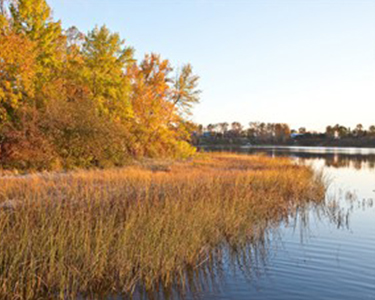
duluth parks
Duluth has more than 130 city parks. Explore parks nestled in pristine forests, unique playgrounds, urban gardens and beautiful parkland throughout the city.